Terrain modeling
Build detailed elevation datasets to support surface models, contours, and site-planning workflows.
Above the Horizon Media provides commercial LiDAR capture for project teams that need a clearer view of terrain, vegetation, structures, and changing site conditions.
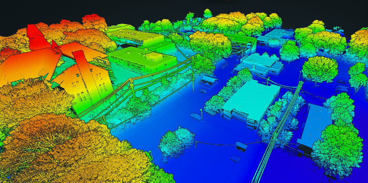
LiDAR capabilities
Build detailed elevation datasets to support surface models, contours, and site-planning workflows.
Document terrain and site conditions where tree cover or vegetation can limit conventional aerial imagery.
Collect a consistent aerial record to support planning, condition review, and technical project discussions.
Project-ready workflow
01
Align the capture area, site conditions, timing, and required outputs with your team.
02
Execute site-aware LiDAR capture with a plan built for the project environment.
03
Organize point-cloud and supporting outputs for a clear technical handoff.
Project intake
Tell us about the location, terrain, assets, and deliverables you need. We’ll help shape the right capture plan.